
When it comes to smart city services and urban planning, the role of geospatial or geolocation technologies is quite significant. Every smart city solution is inherently based on geolocation data; in fact, most of the new-generation technologies like AI and IoT will only meet expectations if they operate in sync with the location tech.
In this article, we will uncover how the use of location technology enhances smart city services, look at some examples of smart city initiatives enabled by location tech, and explore various location tech application ideas. Read on to learn more!
Every physical object on the Earth’s surface has a location. Location-based technologies assign attributes to this location, identify how it interacts with other objects on a city map, collect data, and help make better decisions.
So how does location intelligence empower smart city initiatives? Before we proceed with the use cases, let’s see how cities use location tech to become smarter.
How smart cities maximize the value of location technologies
Geo tech implementation enhances just about every facet of a smart city’s services: Traffic and transport management, optimizing energy use, city marketing, real estate development, crime-prevention, and event-management are areas where the application of geospatial and geolocation technologies has the most positive impact.
For example, geofencing location based services can be used to create virtual perimeters around physical areas. This feature of a smart city can be applied to a vast array of areas, from security to in-store marketing. The advent of 5G is expected to propel urbanistics to an entirely new technological level, and geofenced smart cities will become ubiquitous.
Smart sensors, autonomous vehicles, and drones all use location intelligence to collect and manage data. Moreover, digital twin technology and indoor positioning systems (IPS) are also enabled by location tech.

The combination of location-based services with city demographics and smart city analytics enables both local businesses and city authorities to precisely target their initiatives and be alerted about the most urgent needs of an urban community. A restaurant chain, for example, can use location intelligence to identify city areas which will benefit most from opening new locations; police can identify areas with increased crime outbreaks to enhance surveillance, etc.
In other words, smart city services can be delivered at the right time, to the right place, and exactly to the people who need them most.
Examples of location based services
As of today, smart cities worldwide are using GIS (geographic intelligent systems) and location based solutions to tackle various problems – from managing city tourism to improving security and healthcare.
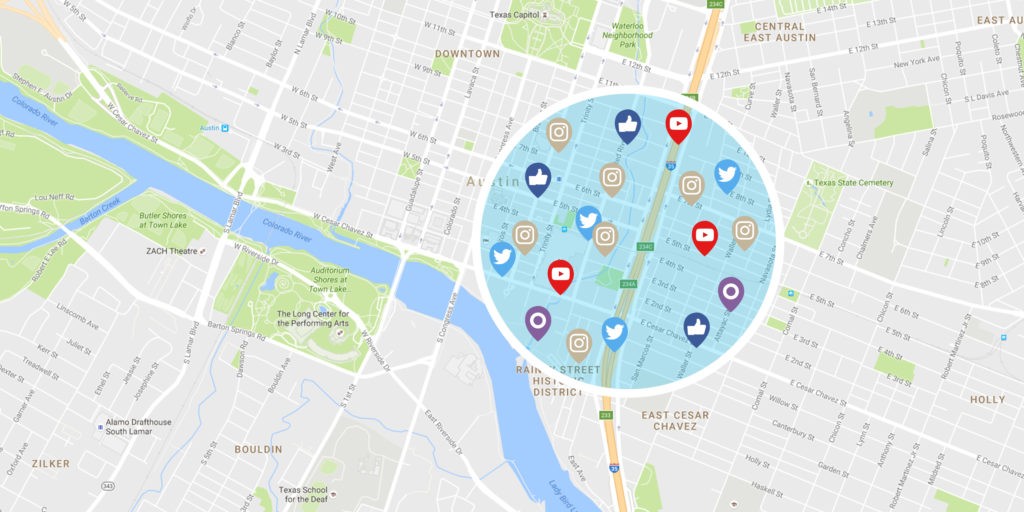
Tracking social media for crime prevention
With its geotagging feature, social media contains a plethora of constantly updated information. In Huntington Beach, CA, in order to strengthen crime prevention initiatives, the police started to use real-time social media location intelligence to track the use of keywords like “shoot”, “gun”, “fight”, etc. Thus, location based services in smart cities help indicate the potential crime sites and take appropriate measures. The police also use location based applications like SnapTrends for investigative purposes and to help identify suspects.
Using GIS to inform inhabitants about city services
GIS technology (an acronym for geographic information services), has been used by urban communities for decades. In New York City, LinkNYC kiosks offer free WiFi funded by advertisements, provide phone charging, and inform users about nearby events and services available in that specific area. They have essentially replaced traditional pay phones as a 21 st century city communication network.
Geofencing to ensure safety
In Seoul, South Korea, smart geofencing tracks kids and elderly people wearing GPS bracelets as they move out of the designated area. The system integrates with the citywide database and helps find missing community members. The families are also notified and alerted, which accounts for the increased sense of security.
Advanced parking management
In tightly populated urban areas, finding parking spaces has traditionally been challenging. In Barcelona, Spain, smart location services track information about available parking spots and superimpose it on GIS maps, enabling drivers to get real-time updates about parking options.

Emergency healthcare
A healthcare initiative called Caalex launched across Europe, is one of the most prominent examples of using smart location services. Through wearables, the system monitors the citizen’s biomedical parameters and notifies paramedics in case someone is unwell.
Integrated data platform
In Copenhagen, Denmark, smart sensors operate on all city levels. In order to prevent and resolve a vast number of issues such as traffic congestion, air pollution, energy, and waste management; the city is utilizing data collected from city streets, GPS beacons in vehicles and from citizens’ smartphones.
Location-Based Technology Uses in Smart Cities
Surely, the full scope of smart location capabilities extends far beyond existing location based services. So what are other applications of location-based services for smart-cities? Below are some practical ideas.
Disaster and emergency tracking: Empowered by the much-anticipated advent of 5G, advanced location intelligence will account for instant responses to emergencies. A location intelligence system running in the background will send automatic alerts regarding any non-typical and potentially dangerous activities and immediately dispatch emergency teams.
Read also: Powering Smart Cities with 5G Technology
Crime prevention: As hybrid location-based technologies evolve, they will empower police and security with advanced crime prevention capabilities. For example, indoor monitoring systems will enable the detection of the exact location of a person or an object inside a building.
Advanced urban planning: The uses of GIS in smart city projects won’t be limited to merely providing geospatial data, they will also play an important part in creating future city layouts. The role of GPS in the architectural development of a smart city will also be significant.
These technologies will enable engineers to create digital models and design residential areas in a way that will foster a more efficient use of infrastructure and resources. While modern cities are mostly the result of chaotic construction, future cities will be thoroughly planned.

How to apply location-based technology
Replacing outdated payphones with GIS kiosks in New York may have looked like a short term project, but the months of preparation and planning remain hidden under the surface. So what does it take to apply location-based services in smart-cities?
Advanced infrastructure
Broadband Internet connection, support of 4G/5G, and a robust IoT infrastructure will be a solid foundation for applying location-based technologies.
Understanding your city’s pressing issues and problems
Every city has a range of long standing issues: healthcare, crime, transportation, resource management, etc. These issues are often unique and specific to a particular urban area. Understanding the issues you want to resolve by using location-based services will help you come up with an action plan.
Buy-in on a community level
Both local officials and citizens should understand the value of location-based technologies: you may need an information strategy to help governmental officials invision how LBS may positively impact the lives of their community members.
Funding and investments
Implementing advanced location-based solutions will require investments. The funding may come from the city budget, local business, and government organizations. Crowdfunding may also be a viable source of investment, if the project wins enough support on the local level.

Currently, urban dwellers account for over 50% of the global population, so obviously, the future lies in advanced urban planning and leveraging-location based technologies to deliver better smart-city services. Implementing LBS solutions is a complex, time-consuming process. Apart from building a robust infrastructure, receiving the funding and gaining support, you will still be facing major challenges such as security concerns and talent shortages.
Location-based technologies are in the stage of development, and the specialists with working knowledge and expertise in this field are notoriously hard to recruit, although this problem can be solved by educating and training the existing workforce.
Successful application of location-based technology for smart-city services will depend to a large extent on your outsourcing partner. Always choose a reputable company with a proven track record of successfully implemented LBS projects and a robust technological expertise.
Have an idea about a smart-city location-based service that you want to bring to life? At Eastern Peak we have vast expertise in creating smart city solutions – from test drive in a virtual sandbox to full-on implementation. Request a free consultation now for more info!
Read also:
About the author:
Oleg Roberman, Chief of Delivery at Eastern Peak
With strong technical background and outstanding project leadership skills, Oleg helps Eastern Peak customers introduce competitive advantages and instill productive changes in every process by resolving complex business issues and managing multicultural teams through innovation and creative thinking.

